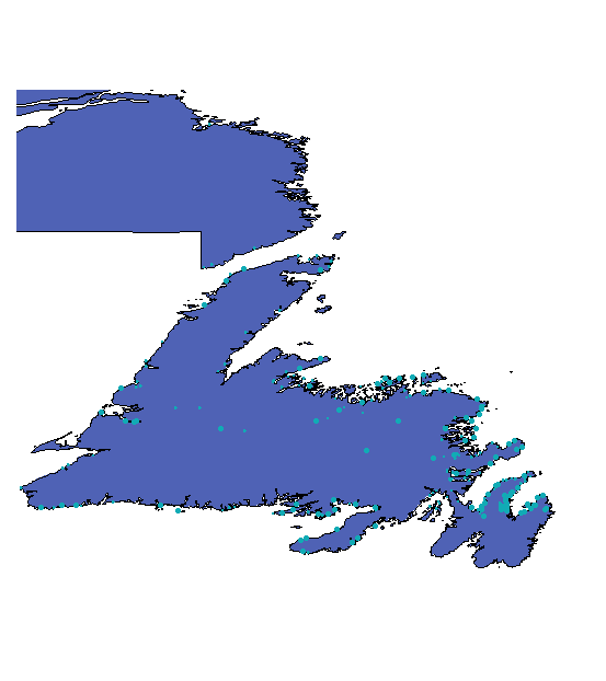
Maps (Please click on these to call up zoom icon and then click again to expand):
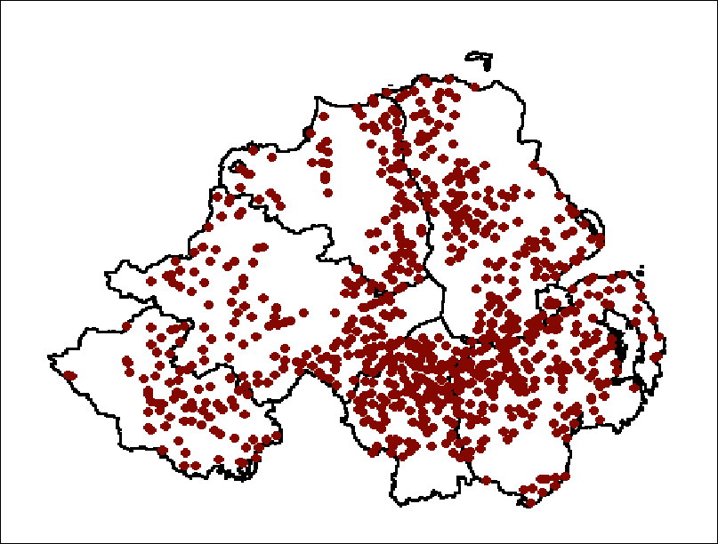
Northern Ireland Orange Halls, 2001
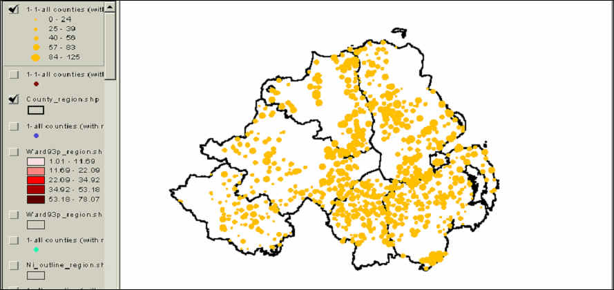
Map of Orange Lodges in Northern Ireland (Adjusted by Size), 1991 POWERPOINT
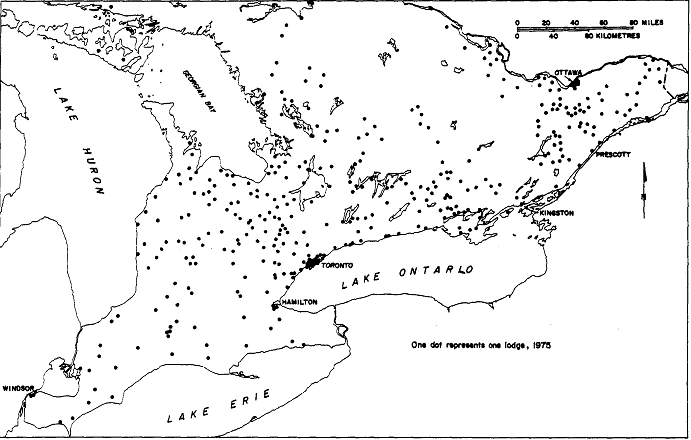
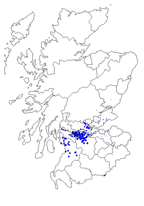
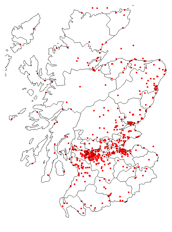
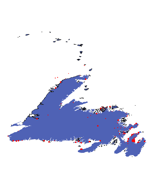
Maps of Lodges in Other Orange Jurisdictions (Click to access)
Maps used in the book: The Orange Order: A Contemporary Northern Irish History (Oxford University Press, forthcoming January 2007):
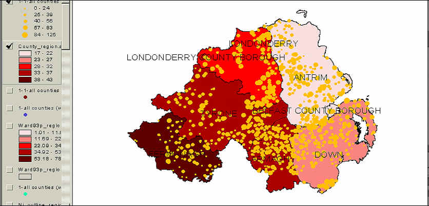
Figure
1.1. Orange Lodges (1991) and County Orange Density (1971), Northern Ireland
Figure
5-7. The Orange Horseshoe: Catholic Population and Membership-Adjusted Orange
Halls in the Nationalist Borderlands, 1991 (naming strongly Catholic wards with
a significant Orange presence)
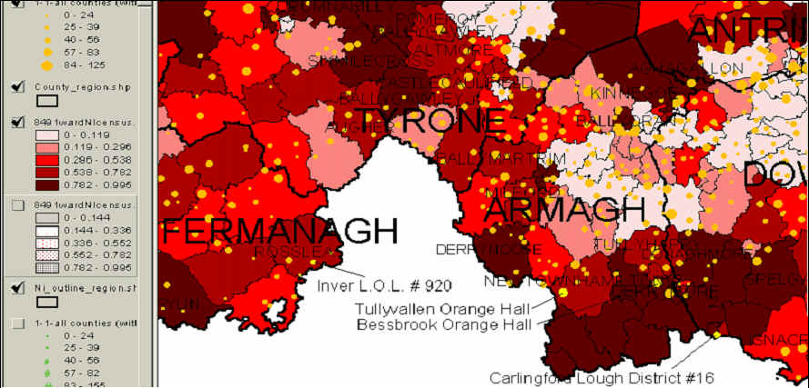
Source: GOLI Membership Returns 1991; OSNI 1984 Ward Boundaries; 1991 Northern Ireland Census
Figure 6-3. The Garvaghy Road Orange Marching Route

Source: CAIN: < http://cain.ulst.ac.uk/images/maps/garvaghy.htm
Figure
8-5. Orange/Non-Orange Differentials in UUC
Delegate Stance by Constituency of
Residence

Source: Kaufmann and Patterson, 'The Dynamics of Intra-Party Support for the Good Friday Agreement in the Ulster Unionist Party'. N.B. No Orange members in Foyle or West Belfast (these are shaded white and unlabeled).
Figure
10-5. Orange Density by Ward
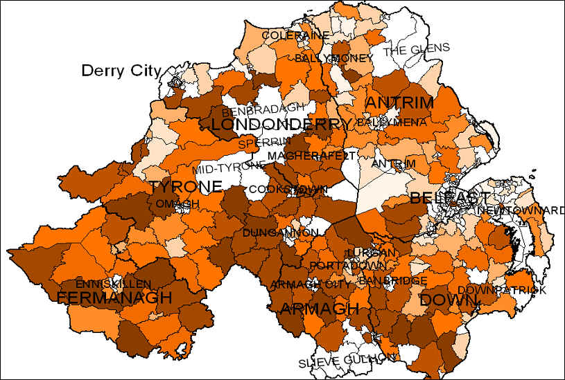
Source: GOLI membership returns; OSNI 1984 ward boundaries; Census of Northern Ireland 1991(<http://census.ac.uk/casweb/>)
Figure
10-6. Orange Density by District Electoral Area

Source: GOLI membership returns; OSNI 1984 District Electoral Area (DEA) boundaries; Census of Northern Ireland 1991
Figure 10-7

Figure 10-9
Source:
GOLI Returns;
Figure
10-10
For further figures from the book, click here